UN
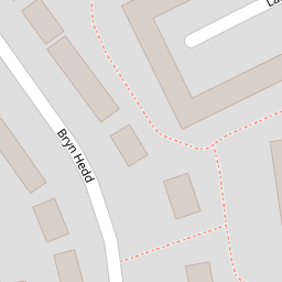
60 Bryn Hedd
£ 66,001
Description
We don't have a Description for this property.
- Bedrooms
- 3
- Bathrooms
- 0
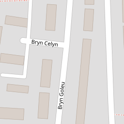

Leaflet © OpenStreetMap contributors
The heatmap indicates the level of crime in the area. The color of the heatmap indicates the crime severity and recency.
Metrics Year-on-Year
- Average area value
- 363,275.00 £Increased by 0.98 %
- Average area rental value
- 922.00 £/moDecreased by 1.28 %
- Est rental Yield
- 3.05 %Decreased by 2.24 %
- Crime Rate
- 51.00 %Unchanged by 0.00 %
from 359,732.00 £
from 934.00 £/mo
from 3.12 %
from 51.00 %
Nearby Schools
| Name | Type | Ofsted | Distance |
|---|---|---|---|
| Brynteg County School | Welsh Establishment | 0.42 KM | |
| Ysgol Penrhyn New Broughton Primary | Welsh Establishment | 0.59 KM | |
| Tanyfron C.P. School | Welsh Establishment | 1.48 KM | |
| Black Lane C.P. School | Welsh Establishment | 1.60 KM | |
| Ysgol Heulfan | Welsh Establishment | 1.87 KM |
Images
Nearby Streets
| Name | Average Price | Average Sqft | Distance |
|---|---|---|---|
| Lansbury Grove | £ 140,000 | 0 | 0.00 KM |
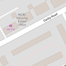
| Darby Road | £ 175,000 | 0 | 0.00 KM |
| Arfryn | £ 0 | 0 | 0.00 KM |
| Maesteg | £ 160,000 | 0 | 0.00 KM |
| Church Road | £ 0 | 0 | 0.00 KM |
Nearby Transport
| Name | NLC | TLC | Distance |
|---|---|---|---|
| Gwersyllt | 4300 | GWE | 2.38 KM |
| Wrexham General | 4487 | WRX | 3.92 KM |
| Cefn-Y-Bedd | 2425 | CYB | 4.22 KM |
| Wrexham Central | 4486 | WXC | 4.42 KM |
| Caergwrle | 2536 | CGW | 5.20 KM |
Nearby Listings
| Address | Price | Type | Score | Distance |
|---|---|---|---|---|
| Darby Road, Brynteg, Wrexham, LL11 | £ 175,000 | BUY | 6 / 10 | 0.14 KM |
| Darby Road, Brynteg | £ 150,000 | BUY | 5 / 10 | 0.14 KM |
| Darby Road, Brynteg | £ 160,000 | BUY | 6 / 10 | 0.15 KM |
| Bryn Goleu, Southsea, Wrexham | £ 155,000 | BUY | 6 / 10 | 0.20 KM |
| Bryn Goleu, Southsea, Wrexham | £ 170,000 | BUY | 6 / 10 | 0.22 KM |
Nearby Properties
| Address | Price | Distance |
|---|---|---|
| 88 Bryn Hedd | £ 105,000 | 0.00 KM |
| 62 Bryn Hedd | £ 88,500 | 0.00 KM |
| 60 Bryn Hedd | £ 66,001 | 0.00 KM |
| 80 Bryn Hedd | £ 101,500 | 0.00 KM |
| 52 Bryn Hedd | £ 95,000 | 0.00 KM |